
The Surface Mining and Reclamation Act of 1975 (SMARA) (Public Resources Code, Sections 2710-2796) provide a comprehensive surface mining and reclamation policy with the regulation of surface mining operations to ensure that adverse environmental impacts are minimized and mined lands are reclaimed to a usable condition. SMARA also encourages the production, conservation, and protection of the state's mineral resources. Public Resources Code Section 2207 provides annual reporting requirements for all mines in the State, under which the State Mining and Geology Board is also granted authority and obligations.
SMARA, Chapter 9, Division 2 of the Public Resources Code, requires the State Mining and Geology Board to adopt State policy for the reclamation of mined lands and the conservation of mineral resources. These policies are prepared in accordance with the Administrative Procedures Act, (Government Code) and are found in California Code of Regulations, Title 14, Division 2, Chapter 8, Subchapter 1.
More information on SMARA is available here.
In 1983, the Alameda County Surface Mining Ordinance (SMO) was adopted pursuant to the requirements of SMARA. SMARA Section 2774 requires that every lead agency (i.e., Alameda County) adopt ordinances in accordance with state policy that establish procedures for the review and approval of reclamation plans, establishment and maintenance of financial assurances, and the issuance of a permit to conduct surface mining operations. The ordinance must include procedures for review and action on applications, including public hearings, and must align with state policy.
Pursuant to Chapter 6.80 of the Alameda County General Ordinance Code, Alameda County authorizes mining activities on unincorporated lands through the issuance of surface mining permits (SMPs). In addition, the County authorizes reclamation activities through approval of reclamation plans.
The SMO is available here.
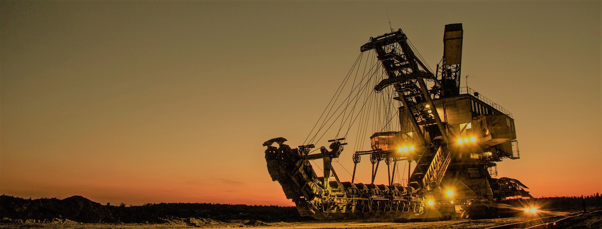
Mining of sand and gravel in the Livermore-Amador Valley began before 1900. As larger areas and volumes of sand and gravel were removed, the need for a permit system to regulate quarrying became apparent. Reclamation was generally not provided for in that era. Attempts by individual operators to produce viable reclamation plans failed because the water resources in the quarry area are interconnected and interdependent in terms of storage and flow and cannot be maintained satisfactorily within the artificial boundaries of quarry permits. Recognizing this, the quarry operators agreed to a joint effort to develop a master reclamation plan to address all the problems within the area designated for quarry use by the Alameda County General Plan. Thus, the Specific Plan for Livermore-Amador Valley Quarry Area Reclamation (Specific Plan) was adopted in 1981. The 1981 Specific Plan is available here.
The general objectives of the Specific Plan are:
- to enable the competing resources of land, water, and sand and gravel to be utilized with a minimum of conflict and disruption;
- to plan for reclamation, productive reuse, and rehabilitation of the Quarry Area.
- to mitigate adverse effects of mining;
- to satisfy requirements of SMARA and the SMO; and
- to provide a coordinated plan for arrangement of mining-produced land and water masses into a coherent, flexible form, reflecting interrelatedness of geology, hydrology, land use, and other factors throughout the Quarry Area.
As part of the Specific Plan, quarry operators in the Livermore-Amador Valley will reclaim excavated basins for use as water storage, conveyance, and recharge facilities, known as the "Chain of Lakes." The Specific Plan requires the operators to dedicate to Zone 7 of the Alameda County Flood Control and Water Conservation District, at no cost, all excavated basins within the Specific Plan, along with all exterior perimeter areas, sufficient interior perimeter areas to provide a minimum 25-foot-wide access, and appurtenant levees, conduits, and diversion structures. Areas not intended for water management in the Specific Plan area are designated as discussed under "Land Use Designations."
At the conclusion of reclamation activities, Zone 7 will be capable of diverting water from Arroyo del Valle into the Chain of Lakes. A bypass channel for that watercourse will also be provided to maintain downstream flows necessary to Zone 7 and the Alameda County Water District.
The following list provides general facts about the Chain of Lakes:
- The quarry lands between Pleasanton and Livermore has the largest industrial use in the unincorporated Alameda County. These quarries have deposits identified as regionally significant by the State of California. These 2,000-plus acres have a vested land use, requiring no discretionary permits (often referred to as the "right to mine").
- Surface mining in this area has been producing sand and gravel for 100 years, yet approximately 115 million tons of material remain to be mined.
- The sand and gravel produced at these quarries is vital to the construction and transportation industries and County's economy.
- Surface mining in the quarry lands regulated under the Specific Plan play an important role in the County's East County Area Plan and goals to reduce greenhouse gases because local production reduces trucking travel and lowers overall cost by reducing higher transportation costs related to nonlocal material.
- Under the Specific Plan, the quarry operators, County, and Zone 7 of the Alameda County Flood Control and Water Conservation District planned for the quarries to become lakes for water management: water storage, flood control, and groundwater recharge.
- The potential environmental impacts of the Specific Plan and Chain of Lakes were analyzed in the Specific Plan's environmental impact report certified by the County in 1981.
While each approved surface mining permit and reclamation plan in the Specific Plan area includes requirements providing for fulfillment of the Chain of Lakes, each mine operator also has a separate contract with Zone 7. Those contracts describe the details of property transfer, construction of facilities, monitoring and maintenance requirements for constructed facilities, and use of groundwater.
The land on which SMPs are approved have underlying zoning designations of Water Management and Large Parcel Agriculture under the Alameda County General Plan East County Area Plan (ECAP). Subject to the provisions of Measure D, the Water Management land use designation provides for sand and gravel quarries, reclaimed quarry lakes, watershed lands, arroyos, and similar and compatible uses. The Large Parcel Agriculture designation provides for agricultural uses, agricultural processing facilities, limited agricultural support service uses, secondary residential units, visitor-serving commercial facilities, recreational uses, public and quasi-public uses, solid waste landfills and related waste management facilities, quarries, wind farms and related facilities, and utility corridors.
The ECAP also contains special land use policies pertaining to quarries and Regionally Significant Aggregate Resource Areas designated by the State Mining and Geology Board. The goal for these special land use policies is to, "recognize the regional value of the County's construction aggregate resources and to ensure compatibility between quarry operations and surrounding land uses" (ECAP, Page 41). Pursuant to this goal, County policy (Policy 160) is to ensure that, "where quarry operations are located in areas designated as Water Management, extraction of the aggregate resource shall be allowed in the short term. Reclamation of the land for water management and other compatible uses shall occur subject to conditions of Surface Mining Permits and Reclamation Plans...." Furthermore, pursuant to Policy 162, the County allows manufacturing uses, which make extensive use of harvested aggregate, to be located near sand and gravel quarries.
Mining in unincorporated Alameda County requires a surface mining permit (SMP). The general plan, zoning code, and county code provide much of the guidance needed in evaluating the merits of an SMP application. If approved by the County Board of Supervisors (or planning commission for small-scale borrow sites), an SMP for a mining operation will contain numerous conditions of approval, which define the specific mining methods, mitigation measures, and schedule for a particular mining operation. Likewise, authorized under the SMO, each mining operation has its own reclamation plan, which specifies the approved end use, including vegetation, pit slope angles, and surface elevations.
SMARA and the SMO exempts a vested rights holder from the need to acquire a permit to mine from the local permitting agency as long as such vested rights continue and as long as no substantial changes are made in the mining operation (California Public Resources Code Section 2776[a]). Under SMARA, a person is deemed to have a vested right if, "prior to January 1, 1976, the person has, in good faith and in reliance upon a permit or other authorization, if the permit or other authorization was required, diligently commenced surface mining operations and incurred substantial liabilities for work and materials necessary for the surface mining operations" (Id.). The SMO similarly provides that any surface mining operation authorized to operate under a permit issued before January 1, 1976, is exempt from the requirement to obtain an SMP (Alameda County General Ordinance Code Section 6.80.050[B]).